
Açıklama
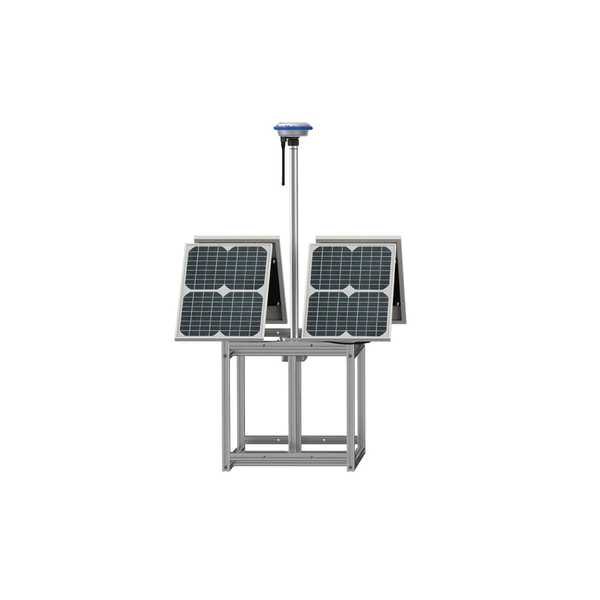
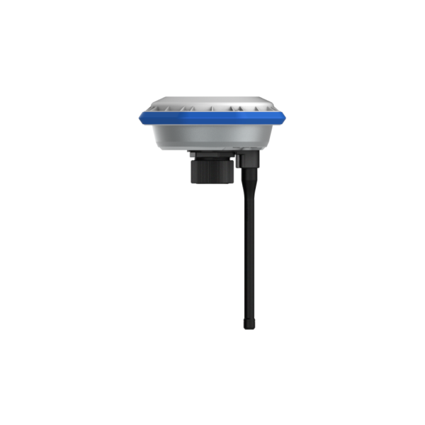
The XAG® GNSS RTK Fix Station delivers centimetre-level positioning accuracy for XAG agricultural drone operations, mapping, and autonomous flight.
By transmitting real-time RTK correction data to compatible aircraft and controllers, the station upgrades standard GPS positioning to RTK-FIX accuracy, allowing drones to fly repeatable routes with precise swath alignment and reliable terrain following. This is essential for orchard spraying, vineyard applications, boundary mapping, and consistent seasonal operations.
Designed for field deployment, the base station supports multiple satellite constellations and maintains a stable correction signal across large operating areas. When paired with RealTerra mapping and autonomous flight planning, operators benefit from improved navigation stability, reduced overlap, and more efficient chemical placement.
Key Advantages
- Centimetre-level RTK positioning accuracy
- Repeatable autonomous flight routes
- Improved spraying and spreading precision
- Accurate mapping and field boundaries
- Reduced chemical waste and missed coverage
- Multi-constellation GNSS support


Değerlendirmeler
Henüz değerlendirme yapılmadı.